>>> Click here for the english version
From April 20 to 23, 2026, we organized, in collaboration with the Sorbonne Center for Artificial Intelligence (SCAI) and the IPSL – Climate Graduate School (IPSL-CGS), the second edition of the Satellite Observations Bootcamp, focused on machine learning (AI) methods and their applications in remote sensing and Earth system sciences.
LThe goal of this week was to enable participants to discover, understand, and experiment with artificial intelligence techniques applied to the analysis of data from Earth observation.
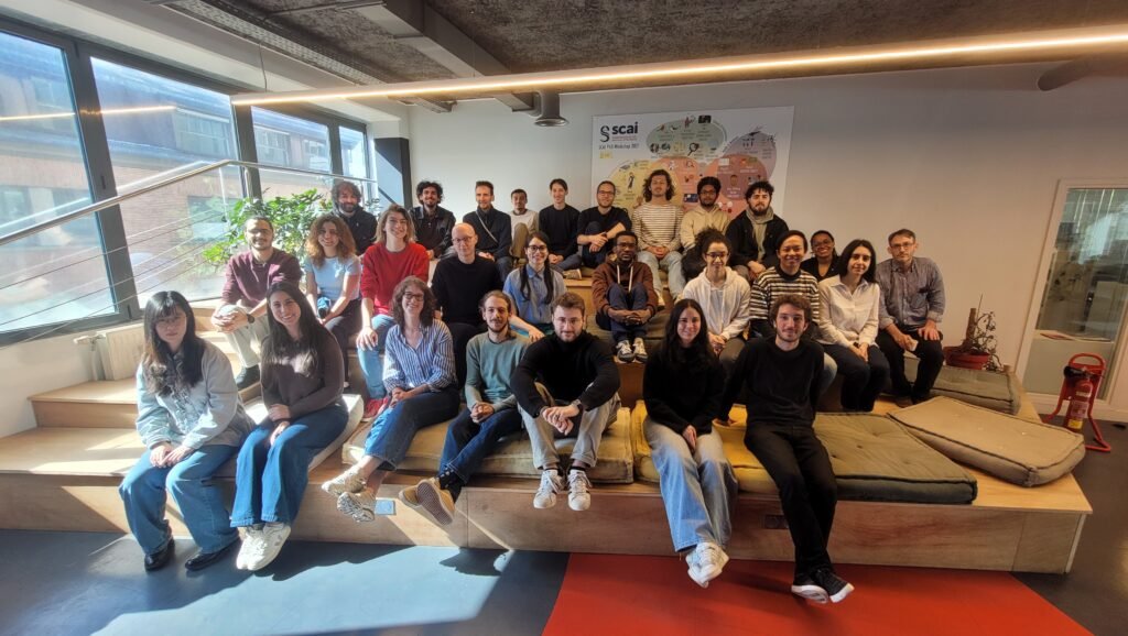
About thirty undergraduate, Master’s, and doctoral students from various institutions in the Île-de-France region and beyond participated in this intensive program, which combined scientific lectures, hands-on exercises, and supervised projects.
Weekly Schedule
- Mornings: Scientific Lectures
Each morning, participants attended lectures given by researchers specializing in AI applied to satellite data and Earth sciences.
- Afternoons: Hands-on Sessions
The hands-on sessions were led by Guillaume Gastineau (SU), Aymeric Chazottes (UVSQ), Yahya Mohandi (LATMOS), Noé Clément (IPSL), Vivien Conti (SCAI), and Georges Baaklini (Académie Spatiale).
These sessions gave students the opportunity to apply artificial intelligence methods in a practical way to satellite datasets through a variety of environmental projects carried out throughout the week.
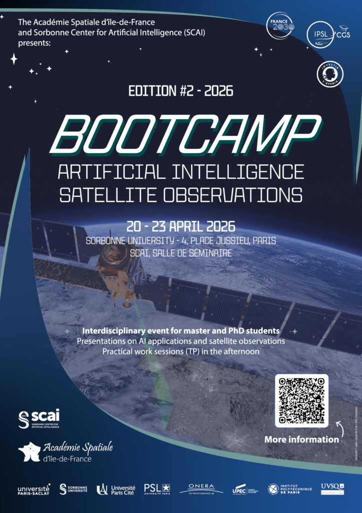

Look back at edition #2 – 2026
Monday, April 20 – Introduction and Project Launch
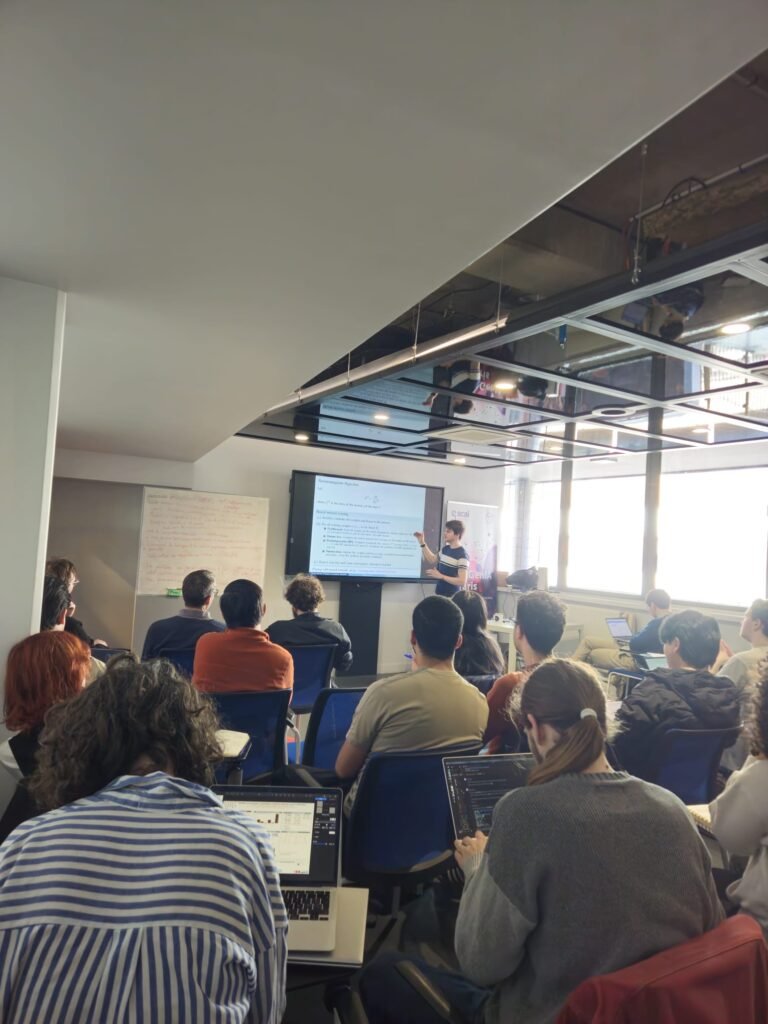
- Introduction to machine learning
– Erwan Scornet (LPSM, SCAI – SU)
- Start of the practical sessions: dividing students into groups and defining projects focused on environmental issues (detection of eddies, identification of clouds, interactions between coastal and offshore waters)
Tuesday, April 21 – Atmospheric Applications
- Introduction to Machine Learning
– Erwan Scornet (LPSM, SCAI – Sorbonne Université)
- Direct and Indirect Effects of Anthropogenic Aerosols on Earth’s Albedo and Climate Change
– Noé Clément (IPSL)
Wednesday, April 22 – Ocean Applications
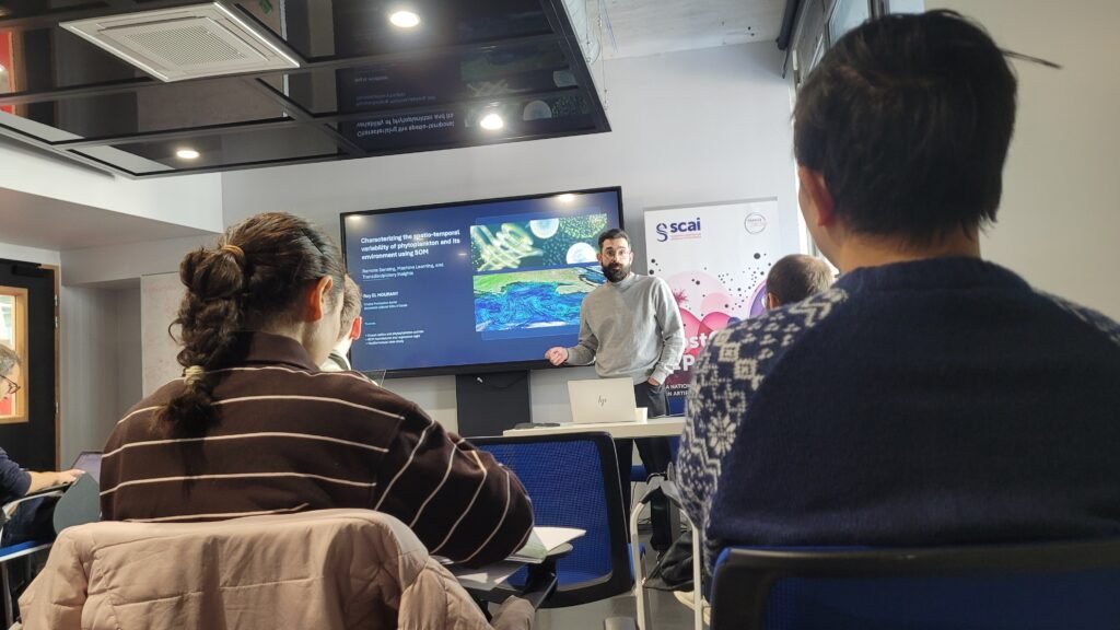
- Characterization of the Spatiotemporal Variability of Phytoplankton and Its Environment Using Self-Organizing Maps (SOM)
– Roy El Houary (LOG)
- Artificial Intelligence for Interpolating Sea Surface Height and Forecasting Ocean Currents
– Anastase Charantonis (INRIA)
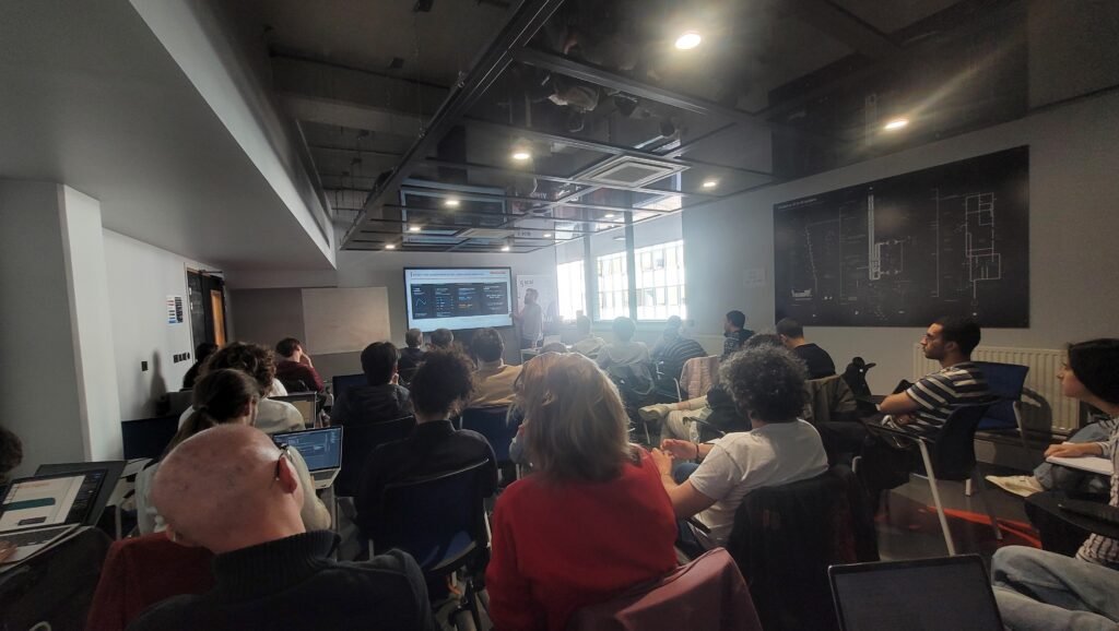
Thursday, April 23 – Hydrology and Advanced Remote Sensing
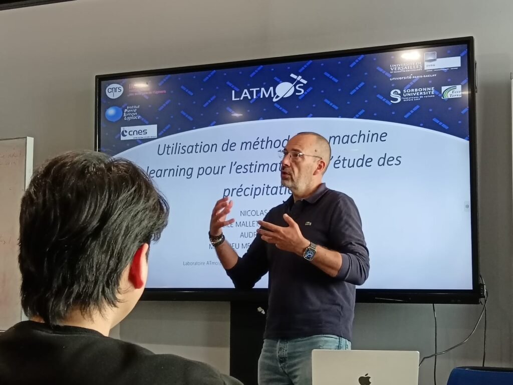
- Machine Learning Methods for Estimating and Studying Precipitation
– Nicolas Viltard (LATMOS)
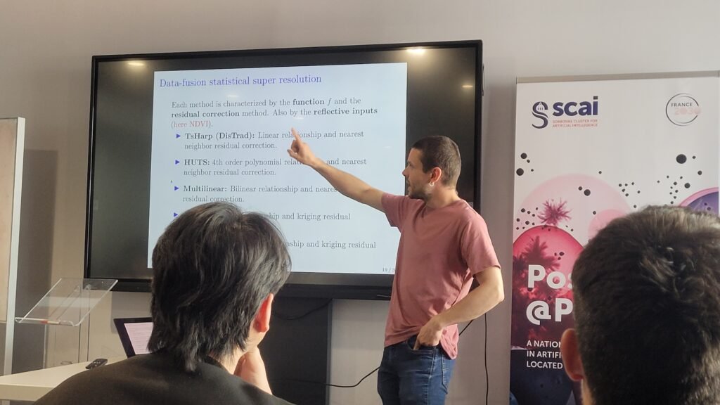
- Machine Learning for Super-Resolution of Land Surface Temperature
– Carlos Granero Belinchon (IMT Atlantique)
Final report
At the end of the week, each group presented its findings after four days of collecting, cleaning, processing, and analyzing satellite data. The participants used artificial intelligence techniques to address concrete environmental challenges, illustrating the diversity of approaches explored during this bootcamp.
This work is led by the “Climate Graduate School” at the Institut Pierre-Simon Laplace (IPSL-CGS), with support from the French National Research Agency (ANR) as part of the “University Research Schools” program under the “Investissements d’Avenir” initiative, grant number ANR-11-IDEX-0004 – 17-EURE-0006.

Du 20 au 23 avril 2026, nous avons organisé, en collaboration avec Sorbonne Center for Artificial Intelligence (SCAI) et l’École universitaire de recherche IPSL – Climate Graduate School (IPSL-CGS), la deuxième édition du Bootcamp Observations Satellitaires, consacrée aux méthodes d’apprentissage automatique (IA) et à leurs applications en télédétection et en sciences du système Terre.
L’objectif de cette semaine était de permettre aux participant·es de découvrir, comprendre et expérimenter les techniques d’intelligence artificielle appliquées à l’analyse de données issues de l’observation spatiale de la Terre.
Une trentaine d’étudiant·es de Licence, Master 2 et doctorat, issus de différents établissements d’Île-de-France et d’autres régions, ont participé à ce programme intensif mêlant conférences scientifiques, travaux pratiques et projets encadrés.
Organisation de la semaine
- Matinées : conférences scientifiques
Chaque matin, les participant·es ont assisté à des conférences données par des chercheur·es spécialistes de l’IA appliquée aux données satellitaires et aux sciences de la Terre.
- Après-midi : travaux pratiques
Les travaux pratiques ont été encadrés par Guillaume Gastineau (SU), Aymeric Chazottes (UVSQ), Yahya Mohandi (LATMOS), Noé Clément (IPSL), Vivien Conti (SCAI) et Georges Baaklini (Académie Spatiale).
Ces sessions ont permis aux étudiant·es d’appliquer concrètement des méthodes d’intelligence artificielle sur des jeux de données satellitaires, à travers des projets environnementaux variés menés tout au long de la semaine.
Retrospective de l’édition #2 – 2026
Lundi 20 avril — Introduction et lancement des projets
- Introduction au machine learning
– Erwan Scornet (LPSM, SCAI – SU)
- Lancement des travaux pratiques : répartition des étudiant·es en groupes et définition des projets autour de problématiques environnementales (détection de tourbillons, identification de nuages, interactions entre eaux côtières et eaux du large)
Mardi 21 avril — Applications à l’atmosphère
- Introduction à l’apprentissage automatique
– Erwan Scornet (LPSM, SCAI – Sorbonne Université)
- Effets directs et indirects des aérosols anthropiques sur l’albédo de la Terre et le changement climatique
– Noé Clément (IPSL)
Mercredi 22 avril — Applications à l’océan
- Caractérisation de la variabilité spatio-temporelle du phytoplancton et de son environnement à l’aide des cartes auto-organisatrices (SOM)
– Roy El Houary (LOG)
- Intelligence artificielle pour l’interpolation de la hauteur de surface de la mer et la prévision des courants océaniques
– Anastase Charantonis (INRIA)
Jeudi 23 avril — Hydrologie et télédétection avancée
- Méthodes d’apprentissage automatique pour l’estimation et l’étude des précipitations
– Nicolas Viltard (LATMOS)
- Apprentissage automatique pour la super-résolution de la température de surface terrestre
– Carlos Granero Belinchon (IMT Atlantique)
Restitution finale
En fin de semaine, chaque groupe a présenté ses résultats après quatre jours de collecte, nettoyage, traitement et analyse de données satellitaires. Les participant·es ont mobilisé des techniques d’intelligence artificielle pour répondre à des problématiques environnementales concrètes, illustrant la richesse des approches explorées durant ce bootcamp.
Ce travail est porté par la « Climate Graduate School » de l’Institut Pierre-Simon Laplace (IPSL-CGS), soutenue par l’Agence Nationale de la Recherche (ANR) dans le cadre du programme Investissements d’Avenir « Ecoles Universitaires de Recherche » sous la référence n° ANR-11-IDEX-0004 – 17-EURE-0006